© city-map AG ‐ Map data © OpenStreetMap contributors


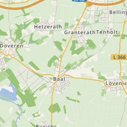
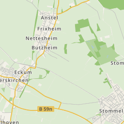
The surface mining Garzweiler is a brown coal mining by the RWE Power in the northern part of the Rhenish lignite mining region. the mining area is situated between the towns of Bedburg, Grevenbroich, Jüchen, Erkelenz and Mönchengladbach in NRW.
The large-scale opencast mining Garzweiler (later called Garzweiler I) originated in the year 1983, during the merger of the excavation fields Frimmersdorf-South as well as Frimmersdorf-West.
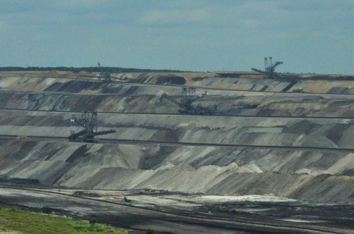
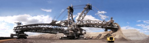
To secure the energy supply, the 48 square kilometres large connection field Garzweiler II was continued the surface mining in the western direction beginning in 2006. There, 1,3 billion tons of lignite are stored, until 2045, these will have been mined and they make up around 40% of the Rhenish lignite extraction.
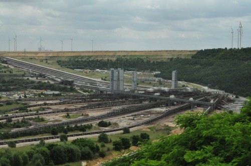
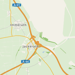
In the course of the change to the connection field Garzweiler II, near the motorway junction Jackerath, a new distribution point was constructed in the southwest. These new facilities are the hub for mass transports inside the surface mine and the keystone for further development: Surface mining is being swung out in a large wing towards the west.