© city-map AG ‐ Map data © OpenStreetMap contributors


The Wilseder Hill is with 169m the highest elevation in the Lüneburger Heide s is situated amidst the nature reserve Lüneburger Heide.
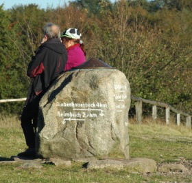
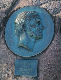
On the Wilseder Hill's peak stands a peak-stone, a metal disc is located on top. Here direction and distance data to cities and elevations, which are nearby or further away have been engraved.
From the Wilseder Hill you look over the expansive heathland and in good weather all the way to Hamburg and Lüneburg.
You reach the Wilseder Hill on foot, by bicycle or horse-drawn carriage from Oberhaverbeck, Niederhaverbeck, Undeloh, Döhle or Sudermühlen.