
© city-map AG ‐ Map data © OpenStreetMap contributors


.jpg)
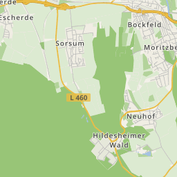
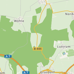
Gronau is situated southwest of Hildesheim between the Leine mountainous country in the west and Innerste mountainous country in the east. It is located west of the Hildesheim Forest respectively north of the seven mountains. The river Leine runs through the town.
A section of the B3 runs west past Gronau.
The townscape is characterised by numerous lengthwise half-timbered houses, these are typical for the southern Lower Saxony.
The town is dominated by the mighty, 65 metres high tower of the Protestant St-Matthäi-church. In the year 1309, the consecrated St. Matthäus church in Gronau was first documented. The building of the present St. Matthäi-church, started in 1457. The core of the tower is a bit older. Church and tower also suffered during the numerous fires, which destroyed the town of Gronau during the course of centuries. In the middle of the 19th-century, the church became so dilapidated, that one considered a completely new building, but the church was preserved and reconstructed. From 1856 to 1859, the church got her present appearance as three-nave Neo-gothic hall-church by the Hanover architect Tochtermann after plans by the Oberhofbaudirektor Laves. The carved winged altar in the church, originated probably in the master workshop Bertram in Hamburg in 1415. Attached in a niche on the southern chancel wall above the vestry door was once a valuable crucifixion group, which is now located in the southern side aisle where it can be better appreciated. The figures, carved from lime wood, were created in a workshop in Hildesheim in 1520. In the year 1860, the old decayed organ was replaced by a new one from the organ builder Philipp Furtwängler, who resided then in Elze. With its 58 organ stops, it is an important work and in the Hanover state church one of the biggest of its time. It has been listed by the state church office in 1936 and has been last restored by the brothers Hillebrand from 1978 to 1981.
On the Protestant graveyard is the medieval Lehder church situated, which is used for memorial services and sometimes also the church services today. There is also the Catholic St-Josefs-church, the abbey of a never officially abolished monastery. Furthermore a New Apostolic Church near the town park, which was consecrated in 1983.
In the aerial photo, one can still recognise the centre of the small town, around which the city wall ran inclusive of ramparts between the Leine arms. Where the ramparts used to be are today, bicycle and footpath with respective names, remembering the route. Gronau was surrounded by a city wall, remnants are still visible on the north bank. A former watch tower is situated on the south bank.
The railway line ran along Gronau's north side. It was closed in the 1980ties. The former railway bridge, which took the railway over the river Leine, is a bicycle and footpath today.
Since the 2nd World War and with the immigration of refugees from the former German eastern territories, several new regions were created. This development is still continuing today.