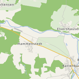


Amelsen, situated north of Markoldendorf in the Ilme basin was easily accessible for development. That is the reason for the early mentioning in the Corvey records in 855/56. It always belonged to the Dassel area, with the earls, in bishops' times and with the Welfen.
In 1345 16 off-duty and reeve-free farms, the independent, were named in a record with heritage land.
The village was already mentioned in the monastery Corvey's records in the Middle Ages. It was founded at a path going over the Weser near Bodenwerder leading to the Leine. The village was situated in the Suilbergau. In the Middle Ages Amelsen already owned a chapel. Amelsen later belonged to the bishopric Hildesheim. A church was built in the place of the chapel in the 18th-century. A lime-tree was planted next to the church at Martin Luther's birthday in 1883.

Part of the Amelsen clubs are the voluntary fire brigade, the sports club, a motor-sports club and riding club, which is named after the Schieferberg, a centre of the village triangle Amelsen, Markoldendorf and Vardeilsen.