

Gievenbeck
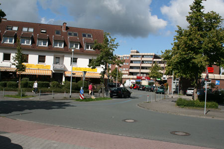
Gievenbeck is a district of Münster in Westphalia and belongs to the district West. Due to the settlement areas 'Gievenbeck-Südwest' respectively 'Auenviertel', the district develops continuously in western direction. It is a quiet district, which as a mainly a residential area.
The name (Gievenbach = in lower German 'Güörtpott' or also 'Goltepelsbach'), goes probably back to Germanic origin. The district is mentioned for the first time in 889, in fact, as 'Villa Gibonbeki'. Gievenbeck was originally a small farming community along the Gieven beck. Through forest clearing, space was created and this way the present road was created with the name Gievenbecker Reihe, which was the district's nucleus. The Appelbreistiege, which is only used as a bicycle lane today, was originally Münster's most important trading route in the western direction. In 1903, the Gievenbecker Reihe was incorporated into the Amt Überwasser. It is still a small farming community. Still in 1920, only 521 citizens were counted. They got electricity in 1921 only.
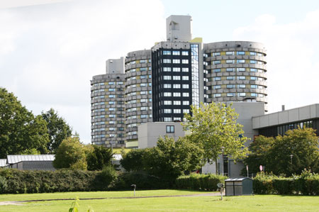
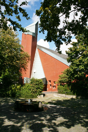
After the 2nd World War, when the university clinic was extended near Gievenbeck, the district developed rapidly. A settlement around the Michael church emerged. In the 1970ties, the district was extended then, living space for students especially. The first student dormitories were constructed at the Gescherweg and Rüschhausweg. The district grew in northwestern direction. In the 1980ties the district grew further, especially in the north at the Horstmarer Landweg and at the Schöppingenweg/Gescherweg. From the beginning of the 1990ties, the residential area Toppheide emerged. Since 2000, the district stretches further towards the southwest and will be exceed the 20.000 citizens mark in the near future, whereby it will be the second-largest district in Münster after Hiltrup. In the course of only 50 years, an agricultural landscape turned into a large residential area.